Digital Land Surveying in Coimbatore & Erode

Digital Land Surveying
Modern Digital Land Surveying for Fast, Accurate Results

Digital land surveying uses advanced GPS and Total Station instruments to capture precise land data quickly and reliably. Instead of relying on older, manual methods, we deliver measurements and maps in clean digital formats you can use immediately.

As a leading digital land surveyor in Coimbatore and Erode, CROWN Digital Land Surveyors combines modern technology with experienced field teams to provide accurate, dependable survey results for plots, properties, layouts, and construction projects.

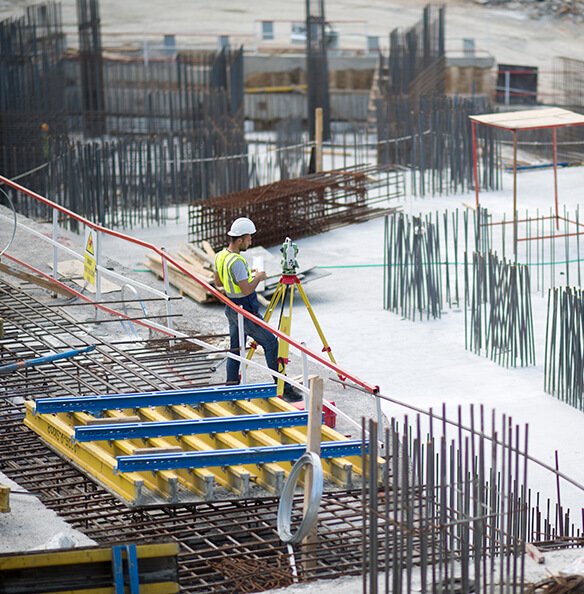
Digital land surveyor using GPS equipment at a survey site in Erode

What Digital Surveying Delivers

  • High-precision land measurements
  • Digital maps and plans (CAD-ready)
  • Fast turnaround on results
  • Accurate boundary and area data
  • Reliable data for planning and construction

Request a Digital Survey

Get a fast quote for digital land surveying in your area.

Get a Quote

Contact Us

67A, Phase 2, Balaji Nagar, Coimbatore

+91 63857 97143

+91 63857 97143

Why Digital

Benefits of Digital Land Surveying

Faster Results

Modern instruments capture data quickly, reducing project time.

High Accuracy

Precision equipment delivers dependable, repeatable measurements.

Digital Deliverables

Plans and maps in digital formats you can share and use easily.

Better Data Quality

Digital capture reduces errors and improves data consistency.

Easy Integration

Data integrates smoothly with design and construction software.

Mobile-Friendly

Access and share your survey data from any device.

Applications

Where Digital Land Surveying Is Used

Layout & Plot Surveys

Accurate digital data for layouts and individual plots.

Construction Projects

Reliable base data for builders, engineers, and developers.

Land Transactions

Verified digital data for buying, selling, and registration.

Mapping & Planning

Digital maps for town planning and land development.

Industrial & Commercial

Precise land data for commercial and industrial sites.

Residential Needs

Digital surveys for home plots and property verification.

Our Process

How Digital Land Surveying Works

1

Consultation

We understand your land and surveying requirements.

2

Field Capture

Digital instruments capture precise field data on site.

3

Digital Report

You receive accurate digital maps, plans, and a report.

FAQ

Digital Land Surveying Questions

Digital land surveying uses modern GPS and Total Station instruments to capture accurate land data and produce digital maps, plans, and reports.

Digital surveying with modern instruments generally provides higher accuracy and consistency while reducing manual errors compared to older methods.

We provide digital maps and plans, including formats suitable for use in design and construction software, along with a clear survey report.

Yes, we provide digital land surveying services in both Coimbatore and Erode, Tamil Nadu.
Related Services

Explore More Surveying Services

GPS

GPS Survey

High-precision positioning for accurate land data.

Total Station

Total Station Survey

Precise angle and distance measurement on site.

Boundary

Boundary Survey

Mark and verify property boundaries with precision.

Need a Digital Land Survey?

Request a digital land survey quote for accurate, fast results in Coimbatore or Erode.

+91 63857 97143

+91 63857 97143

Request a Digital Survey Quote